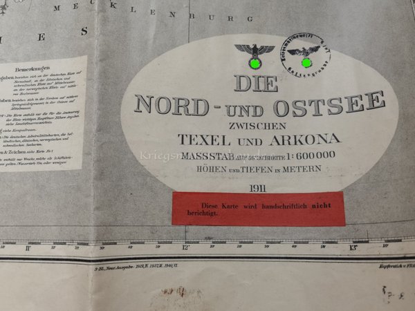
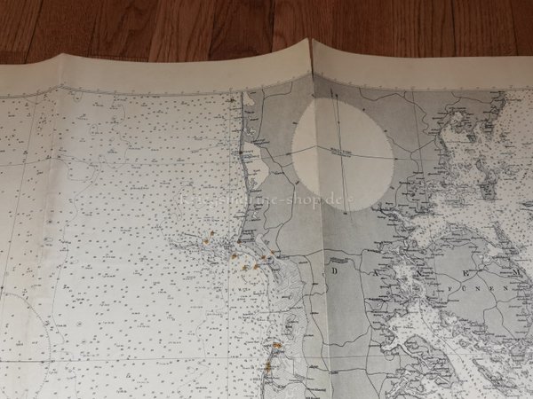
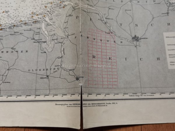
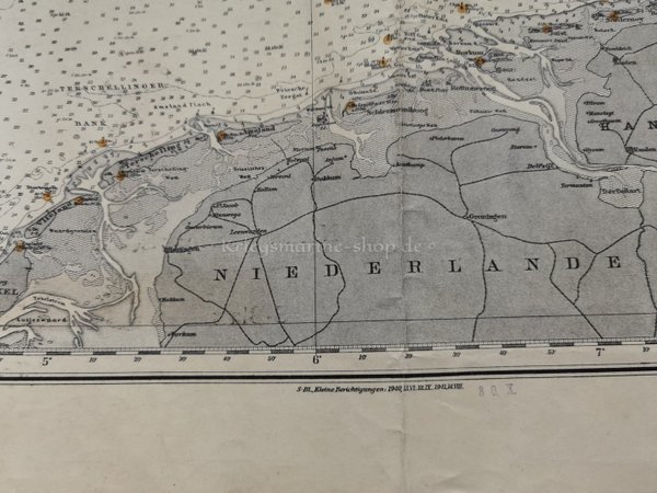
Chart North and Baltic Sea
Product no.: 0486
120.00 €
Sold
Delivery time: 2-5 day(s)Description
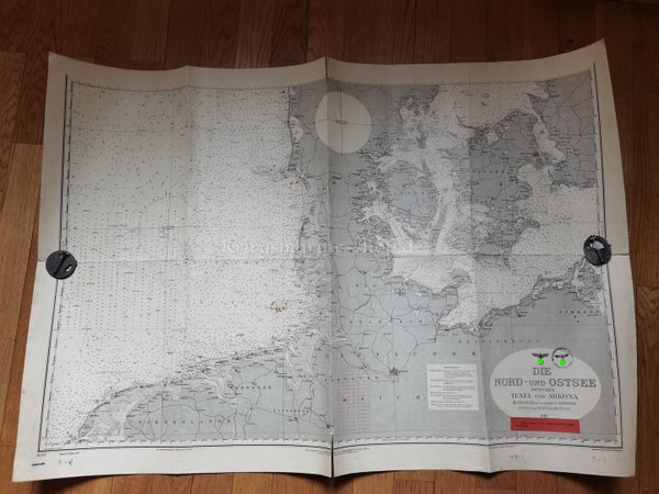
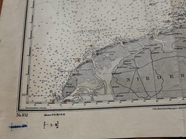
Nautical Chart of the Kriegsmarine North Sea and Baltic Sea.
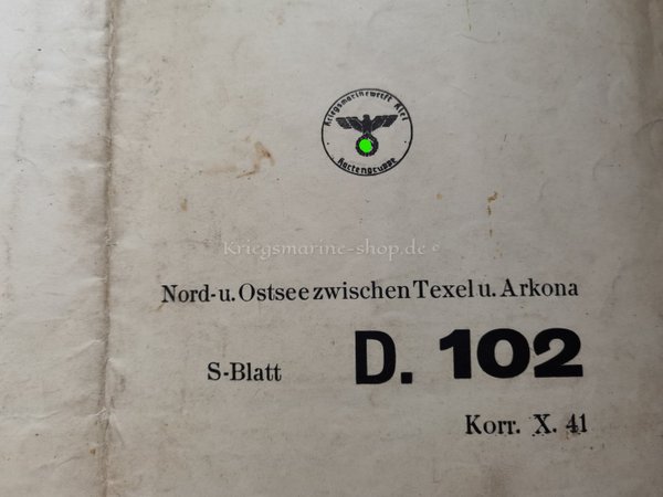
Chart of the Kriegsmarinewerft Kiel Kartengruppe.
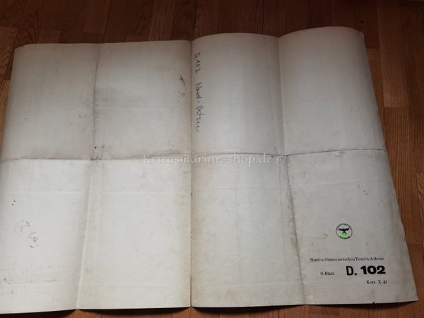
Sheet D 102 North and Baltic Sea, Between Texel and Arkona. Scale 1:600 000, 1911, correction X 41.
Signs of wear, stains, marginal defects, folded several times.
Dimensions: approx. 103.5 x 70.5 cm