15 nautical charts spanish waters Kriegsmarine ww2
Product no.: 0300
Description
Set of 15 nautical charts from High Command of the Kriegsmarine "Spanish Waters" from 2nd World War
Set of 15 nautical charts of the High Command of the Kriegsmarine in different sizes, conditions and paper quality
Blatt 661, Mittelmeer Balearen, Ibiza bis Formentera
Blatt 490, Mittelmeer Südküste von Spanien, Adra bis Cartagena
Blatt 832 Nordatlantischer Ozean Guadalquivir von der Mündung bis Sevilla
Blatt 620 Atlantischer Ozean, Westküste von Spanien Pontevedra Bucht
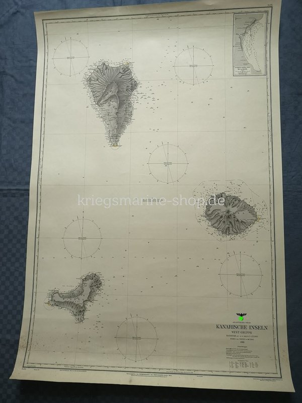
Blatt 841. Atlantischer Ozean, Kanarische Inseln West Gruppe
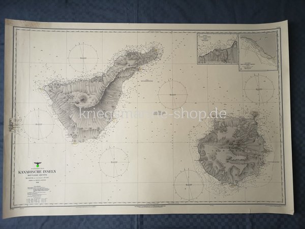
Blatt 842. Atlantischer Ozean, Kanarische Inseln Mittlere Gruppe
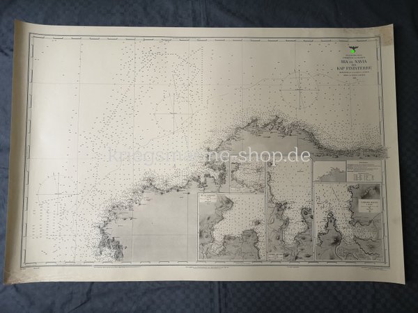
Blatt 306 Atlantischer Ozean, Nord Küste von Spanien Ria de Navia bis Kap Finisterre
Blatt 616 West Küste von Spanien und Portugal Kap Finisterre bis Barra Nova.
Blatt 906 Nord Atlantischer Ozean, Biscaya Bucht: Hafen an der Nord Küste Spaniens Blatt I
Blatt 619 Atlantischer Ozean, Küste von Spanien Arosa Bucht.
Blatt 615 Atlantischer Ozean, Nord West Küste von Spanien Ferrol - Coruña und Betanzos Bucht
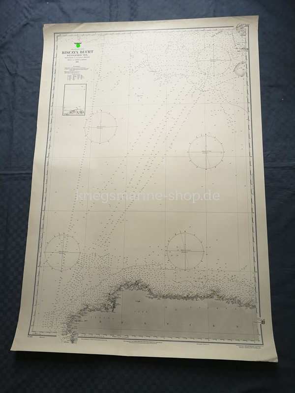
Blatt 882 Atlantischer Ozean, Biscaya Bucht, Westlicher Teil
Blatt 982 Atlantischer Ozean, Nord Küste von Spanien Sant Ander bis Ria de Navia
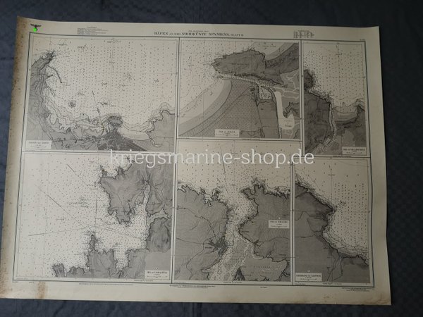
Blatt 980 Nord Atlantischer Ozean, Häfen an der Nord Küste Spanien Blatt II
Blatt 620 Atlantischer Ozean, Küste von Spanien Muros und Noya Bucht.